Today I hauled Jamis down to the Otay River valley and rode it along some road with no name. I parked where the road with no name intersects with Heritage Road, near the water park entrance.
I rode east for three-some miles, and then back again, three-some miles, for total of six point six-one miles.
I found ten geocaches along the way, and didn't find three.
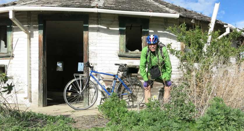
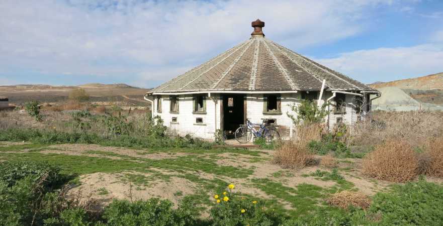
I saw this interesting round-ish building. I figured it was some sort of milking barn, for cows, you know.
I was wrong. Here's an article I discovered, "'Round' barn gave chicks a fighting chance". It was linked from this Otay Valley Regional Park page, which has some other very interesting articles about the area.
So here are several picture I took, with bike and without.
File size 728 KB
With bike. Taken with camera.
File size 1.1 MB
Without bike. Taken with phone.
File size 248 KB
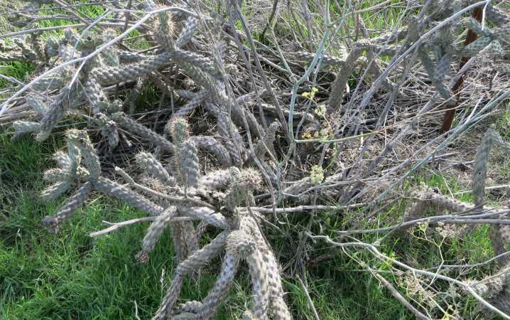
This cache had the added obstacle of...CACTUS!
See if you can spot the cache! The image is quite large so you can zoom in on it!
File size 1 MB
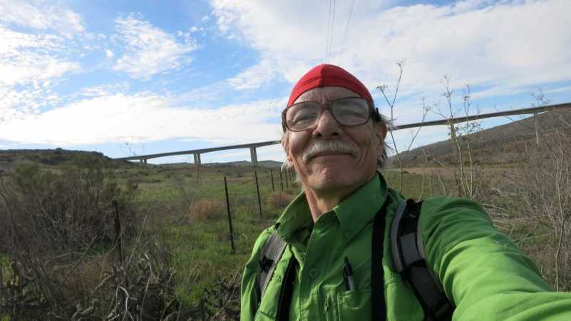
The obligatory selfie. That is the toll road 125 bridge in the background.
File size 84 KB
While signing the log at one cache a family in a truck with quads and motorcycles stopped for directions to an easier way out, rather than the way they had come, which I think was down Johnson Canyon. I'm a stranger here myself, but I think I was able to help them.
Afterwards I drove around to some other caches, mostly in the Skyline and Casa de Oro areas. I found five more, for a total of fifteen for the day.
Thanks for reading!


2 comments:
The round barn is still there! Do you know if there is any other way to access it besides the trail you took?
The possibly unnamed road from Heritage road on the south side of the Otay River Valley seems to be the easiest way. I've both biked it and driven a two wheel drive pickup. I've heard one must risk getting locked in at the main gate, but I haven't SEEN that happen...
Post a Comment